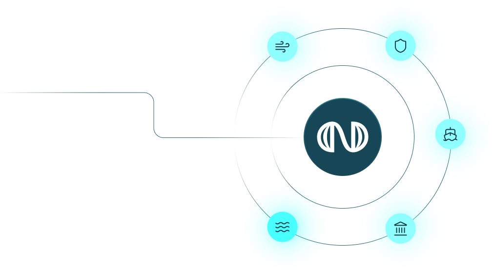
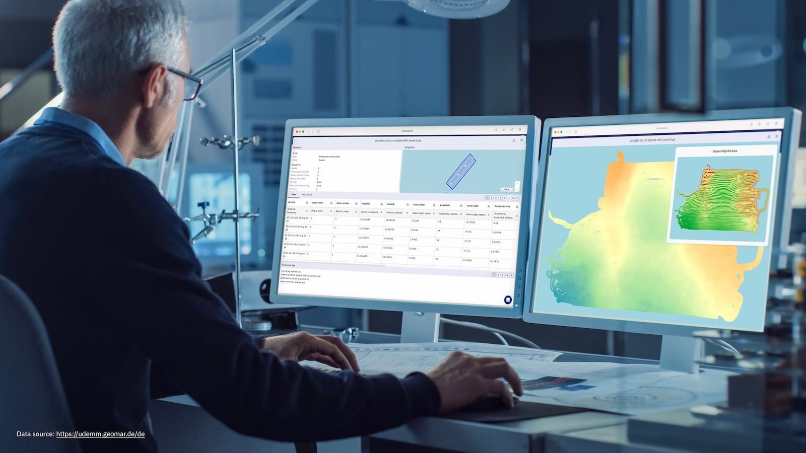
Since 2011, we’ve been helping the world’s leading offshore wind developers, navies, and marine stakeholders unlock the full potential of their underwater sensor data. With more than a decade of project experience we’ve built the core technologies that mater: the Ocean Data Platform and our Ocean Data Processing Engine.
Offshore Wind
Fast-track site surveys and stakeholder alignment from planning to operation.
Maritime Defence & Security
Enable sovereign control, secure sharing, and rapid seabed intelligence.
Offshore Surveying
Accelerate data delivery, validation, and client handover with modern workflows.
Public & Research Institutions
Improve accessibility, traceability, and reuse of marine data sets.
Offshore Industry
De-risk subsea construction, maintenance, and inspections with full visibility.
Ocean Data Processing
Our next-gen processing engine transforms terabytes raw point cloud data into optimized outputs. Cutting processing from weeks to minutes.
We start with alignment - because tech alone isn't enough. Together with our clients, we build a mutual understanding of where they are and how their data vision can look like.
north.io is a trusted and enjoyable partner to work with. Their platform makes our daily work with geo data much easier and supports our statewide digitalization strategy for managing, visualizing, and distributing geo data.
Tobias Kuring
Deputy Head of IT at Ministry for Energy, Climate, Environment and Nature of Schleswig-Holstein
Cimbria Subsea Services selected north.io's ocean data platform for its great support in survey planning, data management, and quick quality assurance. The platform’s innovative technology and smooth integration enhance the efficiency of our marine survey operations.
Mona Lütjens
PMO at Cimbria Subsea Services
Working with north.io has been a genuinely positive experience. The TrueOcean platform keeps improving in ways that directly support our workflows, and it's clear the team really listens. Your responsiveness and ability to handle large, complex datasets makes a real difference. We look forward to further developing this promising collaboration.
Stephen King
GIS Lead at Flotation Energy Ltd
FAQ
Frequently Asked Questions
What file format do you support?
We support 40+ formats including MBES (.ALL, .S7K), SSS (.XTF), SBP (.SEGY), point clouds (.LAS, .XYZ), raster/vector (GeoTIFF, SHP).
Can you deploy the platform on-premise?
Yes. We offer both SaaS and fully self-hosted deployments (air-gapped if needed)
Is your system secure?
Yes. We provide end-to-end encryption, RBAC and compliance with ISO 9001, OGC standards.
Can we integrate with our existing GIS or planning tools?
Absolutely. We support API-based integrations, WMS / WFS and offer custom connector development.
Do you offer training and onboarding?
Yes. Every engagement includes training sessions, support and expert guidance.