The Ocean Big Data Specialist.
north.io is the solution provider for managing, processing and analysing raw underwater sensor data. Tailored for the needs of offshore wind, surveying, defence, security, and public authorities.
We advance the ability of our customers from the private and public sector, to access, visualise and use their geodata.


One World, Two Platforms.
From natural environment to cloud environment.
Transform the Way You Work with Ocean Big Data
.png?width=1306&name=Unbenannt-5%20(3).png)
Faster Time to Insight
Automate quality control, processing, and sharing workflows. Reduce project timelines by up to 50%.
Significant Cost Reductions
Cut overhead by replacing fragmented tools and minimising manual effort across departments.
Higher Efficiency
Up to 75% operational gain through seamless collaboration and scalable analytics.
Lower Risk, Better Decisions
Improve data quality and reduce uncertainty in high-stakes offshore projects, mergers, or subsea infrastructure operations.
The New Era of Ocean Big Data begins now!
Why us?
Speed, scalability, easy of use, and enterprise-grade architecture — ready to drive your digital transformation from day one.
Ocean Big Data Specialist Since 2011
The ocean is in our DNA. We are 50+ passionate technicians, explorers, and data specialists who love the challenge of turning complex geodata into clarity. With deep expertise across domains and a strong focus on our customers, we help marine stakeholders - from offshore wind to navies - to unlock the full value of their raw underwater sensor data.
Why Us?
The Ocean Big Data Specialist
Since 2011, we’ve been helping the world’s leading offshore wind developers, navies, and marine stakeholders unlock the full potential of their underwater sensor data. With more than a decade of project experience we’ve built the core technologies that matter: the Ocean Data Platform and our Ocean Data Processing Engine.
Offshore Wind
Fast-track site surveys and stakeholder alignment from planning to operation.
Maritime Defence & Security
Enable sovereign control, secure sharing, and rapid seabed intelligence.
Offshore Surveying
Accelerate data delivery, validation, and client handover with modern workflows.
Public & Research Institutions
Improve accessibility, traceability, and reuse of marine data sets.
Offshore Industry
De-risk subsea construction, maintenance, and inspections with full visibility.
No One-Size-Fits-All
Every dataset, every project, every client is different. That’s why we combine technology with consulting services—aligning on goals, co-designing data flows, and creating tailored solutions that fit your unique needs.
Faster. Smarter. Proven.
We’ve cut processing times from weeks to minutes. We’ve turned raw terabytes into actionable insight. And we’re just getting started.
Ocean Data Platform
Secure, scalable, and designed for the complexity of marine data. Deploy on cloud or on-prem.
Ocean Data Processing
Our next-gen processing engine transforms terabytes raw point cloud data into optimized outputs. Cutting processing from weeks to minutes.
Ocean Data Consulting
We start with alignment - because tech alone isn't enough. Together with our clients, we build a mutual understanding of where they are and how their data vision can look like.
Ocean Data Analytics
Applied AI, machine learning and geoalgorithms turn your raw sensor data into actionable insights.
What Others Say About north.io
Cimbria Subsea Services selected north.io's ocean data platform for its great support in survey planning, data management, and quick quality assurance. The platform’s innovative technology and smooth integration enhance the efficiency of our marine survey operations.

Mona Lütjens
PMO at Cimbria Subsea Services
north.io is a trusted and enjoyable partner to work with. Their platform makes our daily work with geo data much easier and supports our statewide digitalization strategy for managing, visualizing, and distributing geo data.
.png?width=100&height=100&name=Unbenannt-6%20(2).png)
Tobias Kuring
Deputy Head of IT at Ministry for Energy, Climate, Environment and Nature of Schleswig-Holstein
Working with north.io has been a genuinely positive experience. The TrueOcean platform keeps improving in ways that directly support our workflows, and it's clear the team really listens. Your responsiveness and ability to handle large, complex datasets makes a real difference. We look forward to further developing this promising collaboration.

Stephen King
GIS Lead at Flotation Energy Ltd
Frequently Asked Questions (FAQ)
-
What file formats do you support?
We support 40+ formats including MBES (.ALL, .S7K), SSS (.XTF), SBP (.SEGY), point clouds (.LAS, .XYZ), raster/vector (GeoTIFF, SHP).
-
Can you deploy the platform on-premise?
Yes. We offer both SaaS and fully self-hosted deployments (air-gapped if needed) -
Is your system secure?
Yes. We provide end-to-end encryption, RBAC and compliance with ISO 9001, OGC standards.
-
Can we integrate with our existing GIS or planning tools?
Absolutely. We support API-based integrations, WMS / WFS and offer custom connector development.
-
Do you offer training and onboarding?
Yes. Every engagement includes training sessions, support and expert guidance.
At North.io, we are driven by our commitment to unlocking the power of geodata and mapping the world. Our vision is to harness the potential of technology to transform how we understand and interact with our planet.
Jann Wendt
Founder and Digital Entrepreneur
north.io: Your Trusted Partner for Ocean Big Data
At north.io, we are your partner for Ocean Big Data. Since 2011, we've combined proven technology with deep domain expertise to help organizations access, visualize and process their geospacial data. We are trusted by national security agencies, renewable energy developers and marine innovators to deliver mission-critical solutions.
Our agile, innovative team of 50+ specialists offers a full-service approach — walking with you every step of the way. Our flexible, modular technology adapts to your needs, enabling you to structure your data first so it's ready for AI, automation and the future. With north.io, you gain a proactive partner dedicated to unlocking the full value of your marine data.


“At Subsea Europe Services, we are dedicated to simplifying the acquisition of marine data for our valued customers. In pursuit of this relentless mission, we continually embrace cutting-edge operational and digital technologies, including autonomous solutions and cloud-based data management systems. Our partnership with north.io has been transformative, enabling us to finely tune and optimize our marine survey workflow.”
Daniel Esser
Co-owner & Director Business Development

Actual Benefits
By providing tailored software solutions, we accompany your journey to successfully tackle any challenges. Instead of focussing on short-term sales we continuously support our partners to improve their workflows and create added value by ensuring interoperability, security, cooperation and scalable performance. We strive to identify with our partners' values to develop the ideal answer beyond a final product by continuously refining the development incorporating the latest research and technology.
Enables Information Comprehension
The platform facilitates better understanding of data, even for non-experts, reducing the risk of knowledge and information loss. This ensures that all involved parties can make informed decisions based on a comprehensive understanding of the data.
Informed Decision-Making and Risk Mitigation
With faster access to information, the TrueOcean platform allows for better data quality control and analysis. This enables informed decision-making and effective risk mitigation strategies, reducing uncertainties and improving project outcomes.
Enhanced Project Efficiency and Cost Reduction
By digitalising data processes, the platform automates various steps, saving valuable resources and reducing manual efforts. Standardising processes eliminates inefficiencies, leading to enhanced project efficiency and cost reduction.
Secure Data Storage and Protection
The TrueOcean platform prioritises the secure storage and protection of data. By maintaining control over valuable data, users can safeguard their investment and preserve a competitive advantage. This is particularly crucial in offshore wind projects where acquired data can hold significant value.
Explore Our Ocean Data Platform with
a Personalised Demo from Our Experts
Features & Awards


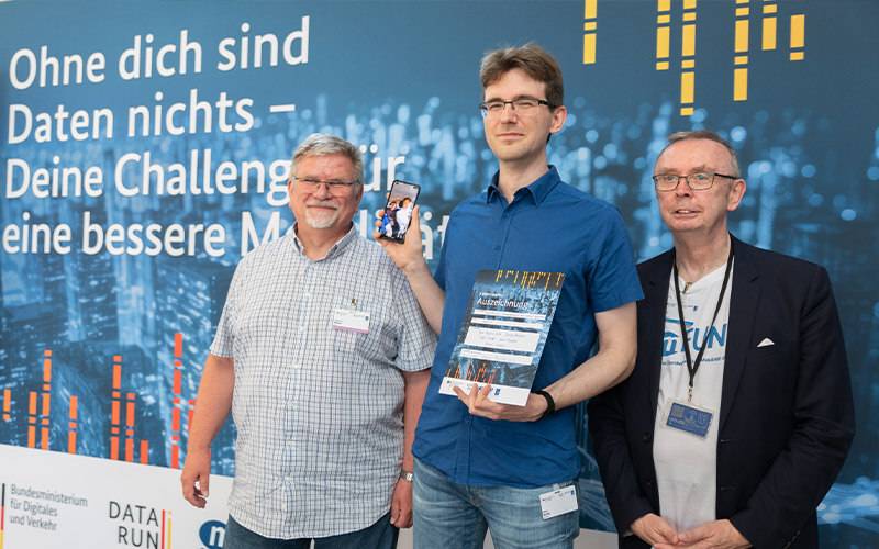

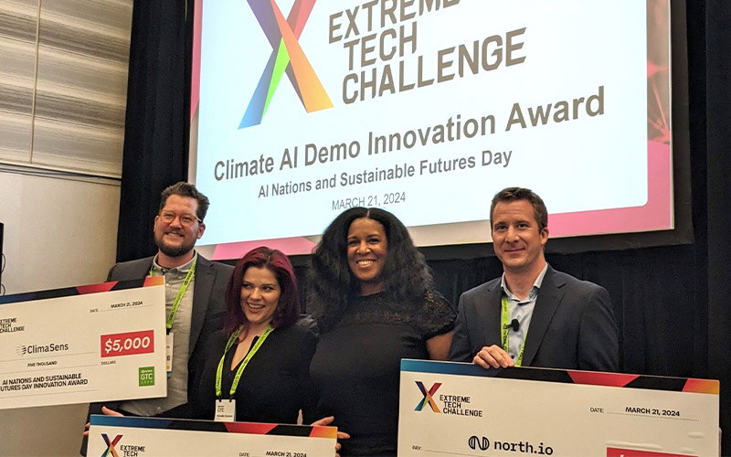




“The cooperation with north.io is always very focused and professional. Their profound understanding of ocean data management challenges, coupled with their innovative solutions, has not only impressed us but is significantly contributing to the success of the Marispace-X project. Their forward-thinking approach and ability to leverage data for meaningful insights have expanded the horizons of what's possible with big ocean data. We are looking forward to our continued collaboration and the new frontiers we will explore together in the world of ocean data management and analytics.”
Prof. Dr. Uwe Freiherr von Lukas
Head of Fraunhofer IGD Rostock


Our Partners
On our mission, to advance your ability to access, visualise and and use your marine data through TrueOcean, we are proud to collaborate with world class organisations.
Blog
3 min read
From Pressure to Progress: Turning Subsea Data Overload into Operational Advantage
Jan 12, 2026
2 min read
north.io's 2025: A Milestone Year of Innovation and Recognition
Dec 16, 2025

.png)


