Automate Complex Ocean Data Workflows
Streamline the entire workflow from raw underwear sensor data to map-ready output. Reduce manual steps with automated ingestion, processing, and delivery.
north.io empowers faster decision-making by turning complex ocean big data into clear and actionable insight.

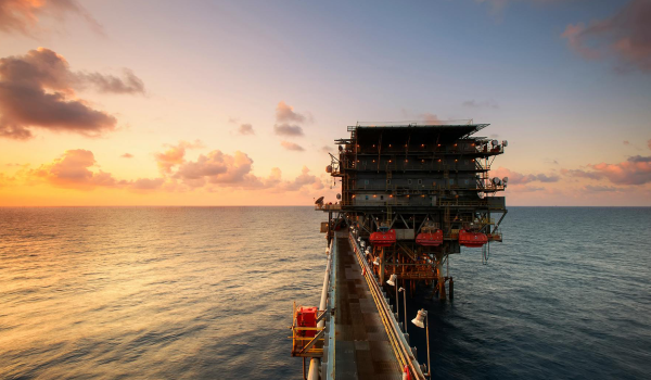
Accelerate energy transition projects and reduce contingencies with reliable access to structured ocean big data throughout project planning, construction, operations, and decommissioning.
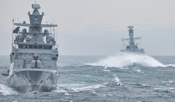
Strengthen maritime domain and situational awareness, operational readiness, and geospatial collaboration for defense and security missions.
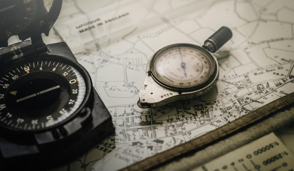
Delivering the tools and services for high-efficiency raw underwater sensor data management, processing, and analysis across subsea survey operations.
Ensure compliance, public service excellence, and scientific insights with powerful ocean big data solutions.
Boost efficiency and improve data workflows: from seabed mapping to asset integrity monitoring.
Accelerate the energy transition with reliable access to structured ocean data throughout project planning, construction, and operations.
We support:
Strengthen maritime domain awareness, operational readiness, and geospatial collaboration for security and defense missions.
We support:
Delivering the tools and services for high-efficiency data capture, processing, and analysis across subsea survey missions.
We support:
Ensure compliance, public service excellence, and scientific advancement with powerful geospatial infrastructure.
We support:
Boost efficiency and insight in marine infrastructure projects—from seabed mapping to asset integrity monitoring.
We support:
Our ocean big data platform, ocean big data processing engine, and consulting services enable teams across industries turn raw underwater sensor data into real-world outcomes — collaboratively, automated, and at scale. Here's how we bring value to every project:
Streamline the entire workflow from raw underwear sensor data to map-ready output. Reduce manual steps with automated ingestion, processing, and delivery.
Run high-volume, parallel data pipelines in the cloud. Process terabytes of MBES, SSS, and SBP data in hours instead of weeks.
Visualize, explore, and share marine data intuitively across teams. Make faster, better-informed decisions whether you're at sea or at headquarters.
Assure the integrity of your data across formats and sensors from MBES and SSS to SBP with built-in data quality control and previews.
Establish consistent processes across teams, projects, and regions. Build the foundation for your digital transformation and AI-driven ocean big data automation.
We support key players marine and offshore domains through enabling informed decisions, faster workflows, and more value from complex raw underwater sensor data (geospatial, geophysical). Whether you build, protect, govern, or explore the ocean, our solutions support your mission.
Planning, developing, and operating wind farms demands clean, accessible, and up-to-date geodata. We help developers optimize workflows from survey to delivery, ensuring data is fit for engineering and environmental use.

We work with TSOs and utilities looking to centralize ocean big data across departments and accelerate project timelines through better data availability and collaboration.

Defense and maritime security stakeholders require reliable, validated, and precise ocean big data. Our solutions and consulting services are designed to establish secure workflows and build situational awareness in complex underwater environments.

From environmental protection agencies to seafloor regulation bodies, we support public authorities seeking to standardize ocean big data practices across departments, states, regions, and countries.

We assist survey firms looking to improve data deliverable quality, shorten turnaround times, or streamline their internal processing workflows—especially when handling multiple formats and changing client-specific requirements.

Hydrographic institutions modernizing their operations or building centralized ocean big data ecosystems benefit from our combination of ocean big data domain knowledge and scalable architecture.

We are proud to support a wide range of clients with advanced geospatial and geophysical data solutions tailored to their specific needs and missions. These selected examples showcase our experience with public institutions, offshore energy developers, and marine service providers.
Please note: The following case studies are based on confidential client projects and are not disclosed in full. For additional context or reference checks, we’re happy to facilitate personal introductions upon request.
Development of an integrated GIS and geodata management platform for regional explosive ordnance disposal services.
Outcome:
Implementation of a federated geodata infrastructure to support collaboration within ministry of the environment and easy geodata management.
Outcome:
Platform deployment for global coordination across floating wind projects.
Outcome:
Automated ingestion and cloud-based delivery of raw underwater sensor data and digital maps for survey missions.
Outcome:
Streamlining ocean big data processing and standardizing deliverables for survey teams.
Outcome:
Cimbria Subsea Services selected north.io's ocean data platform for its great support in survey planning, data management, and quick quality assurance. The platform’s innovative technology and smooth integration enhance the efficiency of our marine survey operations.

Mona Lütjens
PMO at Cimbria Subsea Services
north.io is a trusted and enjoyable partner to work with. Their platform makes our daily work with geo data much easier and supports our statewide digitalization strategy for managing, visualizing, and distributing geo data.
.png?width=100&height=100&name=Unbenannt-6%20(2).png)
Tobias Kuring
Deputy Head of IT at Ministry for Energy, Climate, Environment and Nature of Schleswig-Holstein
Working with north.io has been a genuinely positive experience. The TrueOcean platform keeps improving in ways that directly support our workflows, and it's clear the team really listens. Your responsiveness and ability to handle large, complex datasets makes a real difference. We look forward to further developing this promising collaboration.

Stephen King
GIS Lead at Flotation Energy Ltd
Let’s explore how our solutions can accelerate your operations, simplify your workflows, and give your teams the clarity they need — whether you're building offshore wind farms, conducting subsea surveys, or safeguarding critical underwater infrastructure.
Talk to us about your use case.
We’re eager to understand your ocean big data challenges and built fitting solutions together.