Fragmented Data Landscape
Data is scattered across local servers, hard drives, and departments, with no single source of truth.
Centralise your ocean data workflows through our platform: focusing on data sharing, quality control and collaboration.
Combining the worlds of geospatial (GIS) and geophysical.

Today’s offshore projects are slowed down by broken data workflows and disconnected tools:
Data is scattered across local servers, hard drives, and departments, with no single source of truth.
From vessel to office to final deliverable, it simply takes too long to access, review, and deliver data products.
Dozens of incompatible file types and missing standards require switching between multiple software suites, causing inefficiency and data loss.
Complex 2D/3D underwater data is hard to interpret and nearly impossible to share seamlessly across internal teams and external partners.
Our platform provides structure, accessibility, and clarity to your ocean data operations, turning complexity into insight.
Secure, cloud-agnostic infrastructure that grows with your project: no more scattered hard drives or expensive local servers.
Work seamlessly across survey, geophysical, and engineering formats: see the full list of supported file types.
Explore multibeam, sidescan, and point cloud data instantly in 2D & 3D - without specialized software.
Find the data set your looking for in seconds using our spatial search (GeoSearch).
Role-Based Access Control (RBAC) to secure collaboration at every stage.
Streamline uploads, downloads, and system integrations with fast file transfer tools and open APIs.
From logging in to exploring 3D sonar data and sharing files—watch how fast your workflow can be.
See how public institutions, offshore developers, and marine tech companies use our ocean data platform to streamline workflows, improve collaboration, and gain control over their ocean data.
“Subsea Europe Services has chosen north.io's ocean data platform because it offers unparalleled capabilities in supporting out marine data acquisition and processing. The platform's advanced technology and seamless integration enable us to optimise our marine survey workflows.”
- Mona Lütjens, Project Manager Offshore at Subea Europe Services

“We chose north.io's ocean data platform because it aligns perfectly with our commitment to innovation and sustainability in the offshore services sector. The platform support our goal of decarbonizing the energy industry through uncrewed and remote survey solutions, ensuring we deliver high-quality, responsive services to our clients globally.”
- Jim Gardiner, Global Innovation Manager at Sulmara Subsea

north.io's Ocean Big Data Platform optimises the data stream, ensuring real-time access to critical information.
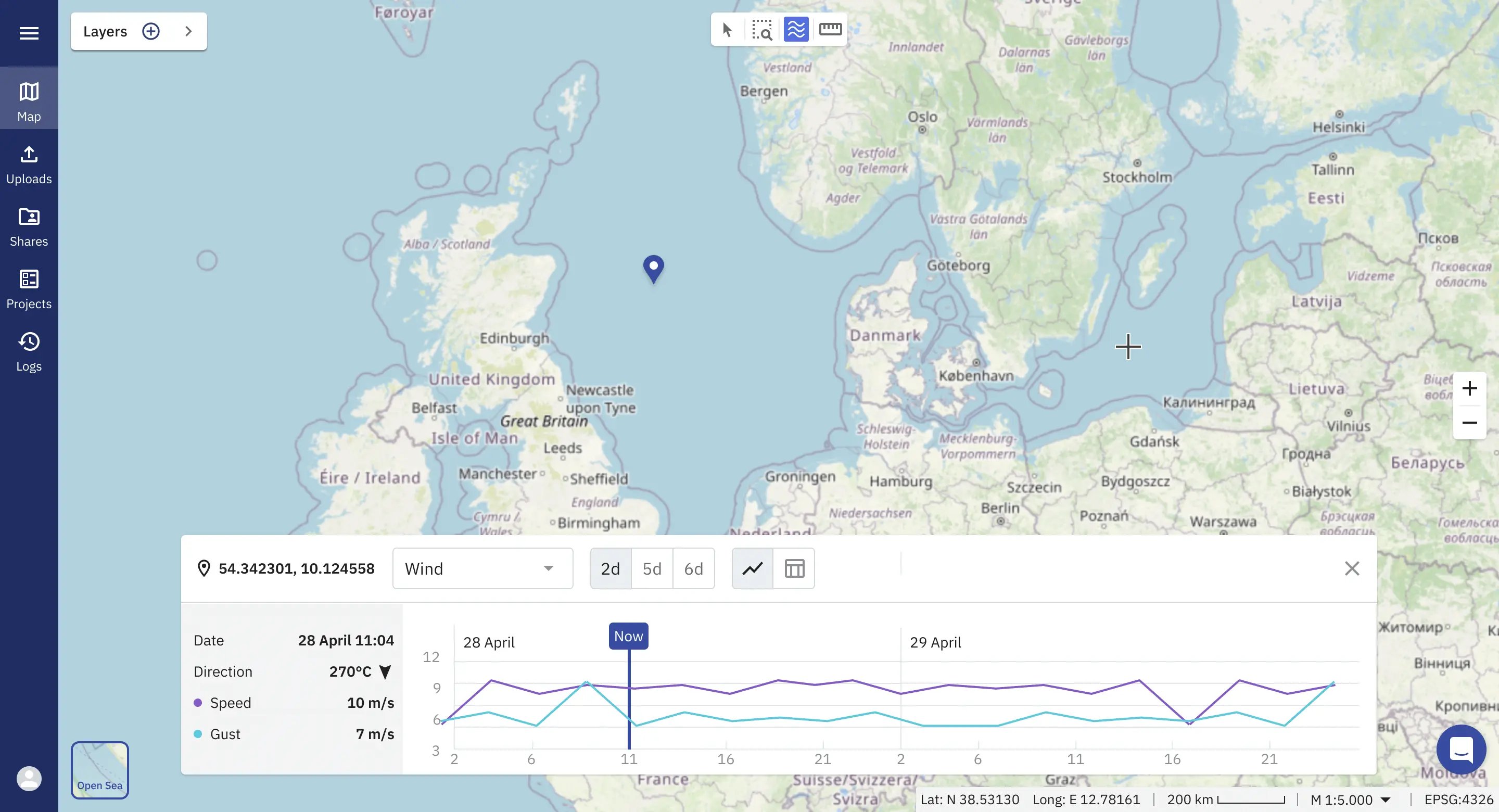
Smart indexing and spatial search tools allow users to perform geospatial searches to find and access their datasets in seconds.

The platform offers table views, 2D and 3D visualisations, metadata, logs, and geo-referenced location data, enabling users to comprehend complex data through intuitive representations.

The Ocean Big Data Platform aggregates information into digital maps, dashboards, and reports, providing a comprehensive overview of project data for efficient monitoring and analysis.

TrueOcean facilitates seamless collaboration among project stakeholders, allowing for effective communication, knowledge sharing, and coordination.

With our Ocean Big Data Management platform, organisations reduce uncertainty and gain real-time access to critical marine information—across teams, tools, and timelines.
Reduce processing and review cycles by
Cut your overhead by
Achieve higher operational efficiency
Our ocean big data platform is engineered to modernise the way ocean big data is managed, visualized and shared. Built with a scalable architecture and intuitive interface, so you can focus on wat matters most: insight.
Go beyond traditional desktop limits when working with geophysical and geospatial data. Discover how managing ocean data in the cloud dramatically reduces costs and speeds up data management workflows.
Seamlessly work with over 40 file types, ranging from Multibeam and Side-scan Sonar to Sub-Bottom Profiler. Our internal use of the cloud-optimised format Apache Parquet enables you for high-performance cloud computing.
Today’s offshore projects generate hundreds of terabytes of underwater data. Our technology is purpose-built to match the domain's complexity and make raw data understandable.
Every organisation is unique. That’s why we develop tailored integrations and tools ranging from survey planning, ocean data processing automation, to AI analytics.
Cimbria Subsea Services selected north.io's ocean data platform for its great support in survey planning, data management, and quick quality assurance. The platform’s innovative technology and smooth integration enhance the efficiency of our marine survey operations.

Mona Lütjens
PMO at Cimbria Subsea Services
Partnering with north.io turns subsea data into instant insight—making the ocean more accessible for science, energy, and security. Together, we close the gap between complex underwater monitoring and the decisions that depend on it.
.png?width=100&height=100&name=Unbenannt-6%20(1).png)
Ole Johannsen
Managing Director, DEVELOGIC GmbH
Working with north.io has been a genuinely positive experience. The TrueOcean platform keeps improving in ways that directly support our workflows, and it's clear the team really listens. Your responsiveness and ability to handle large, complex datasets makes a real difference. We look forward to further developing this promising collaboration.

Stephen King
GIS Lead at Flotation Energy Ltd

One of the challenges faced by organizations working remotely is accessing large data sets. Traditional methods of data transfer, such as physical distribution or file-sharing platforms, can be inconvenient and time-consuming.
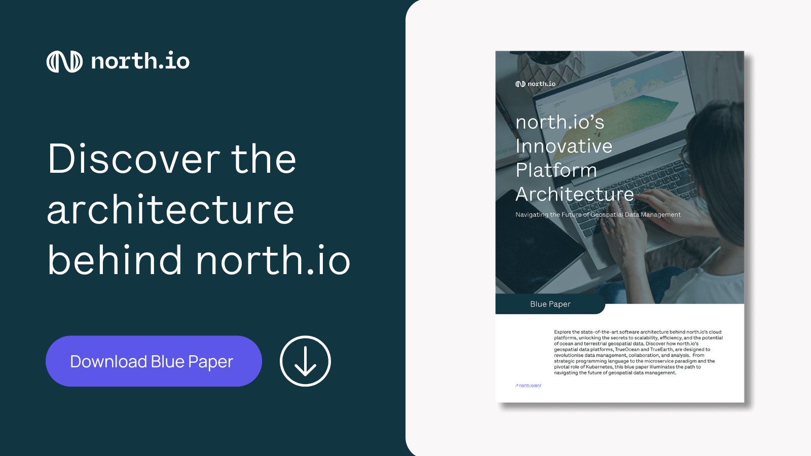
The ever-increasing volume and complexity of ocean and terrestrial geospatial data pose a significant challenge for organisations in terms of data management, collaboration, and analysis.
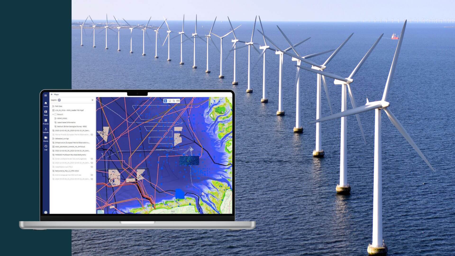
Wind farm projects, often stretching over 60, 100, and more square kilometres in ocean areas, are designed for 30 years of operations. The enormity of data generated from the initial site surveys to the successive updates, encompassing detailed underwater site information about the changing status of foundations, cable traces, and environmental impact, is staggering.
We support 40+ ocean data formats including MBES (.ALL, .GSF, .S7K), SSS (.XTF, .SDF), SBP (.SEGY, .SEGD), point clouds (.LAS, .LAZ, .XYZ), raster formats (GeoTIFF), and vector outputs (SHP, GeoJSON). View the full list.
Yes. While our platform is cloud-native, we also support on-premise and private cloud deployments to meet data sovereignty, security, or regulatory requirements.
We implement end-to-end encryption, role-based access control, and user rights management. For sensitive deployments, we support georedundant and sovereign IT infrastructure setups.
Yes. The platform features API support for integration with GIS systems, data lakes, marine planning tools, or government portals. Custom connectors can also be developed to fit your architecture.
We invite you to contact us and get in touch with one of our experts for a personal call. Together we discuss your ocean big data needs and challenges and develop a custom implementation plan including solution-driven consulting, drafting a data vision, and integrating innovative technologies.